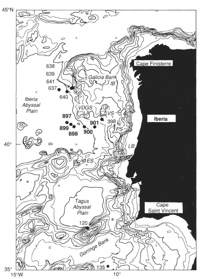
Figure 1. Regional bathymetric chart of the west Iberia margin (contours in 500-m intervals, 1000-m contours in bold). Smaller numbers refer to previous DSDP/ODP drill sites; larger numbers refer to sites drilled during Leg 149. IB = Interior Basin, VDGS = Vasco da Gama Seamount, VS = Vigo Seamount, PS = Porto Seamount, LB = Lusitanian Basin, and ES = Estremadura Spur.
![]()