![]()
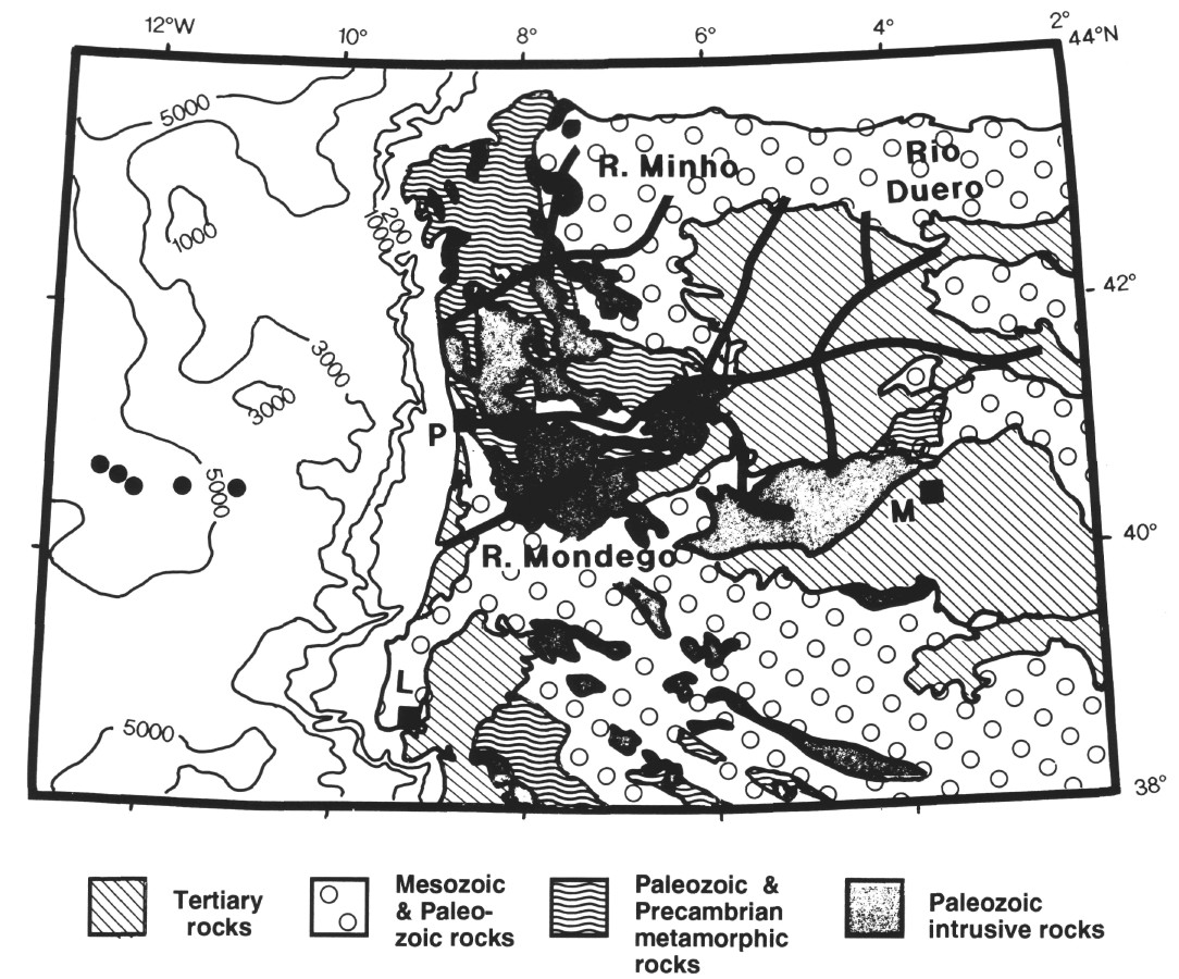
Figure 12. Simplified geologic map of the northwestern Iberian Peninsula, with locations of major river (rio) drainages discussed in text. Solid circles mark approximate locations of Leg 149 sites. Bathymetry is in meters. Modified from Choubert (1971).
![]()