![]()
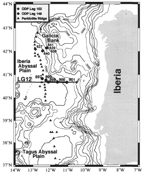
Figure 1. Bathymetric map showing the location of the analyzed multichannel reflection seismic line Lusigal 12 (LG12) west of Iberia. Triangles trace the partially drilled ridge of serpentinized peridotite at the ocean/continent transition. Depth contours are in m below sea level; contour interval is 250 m.
![]()