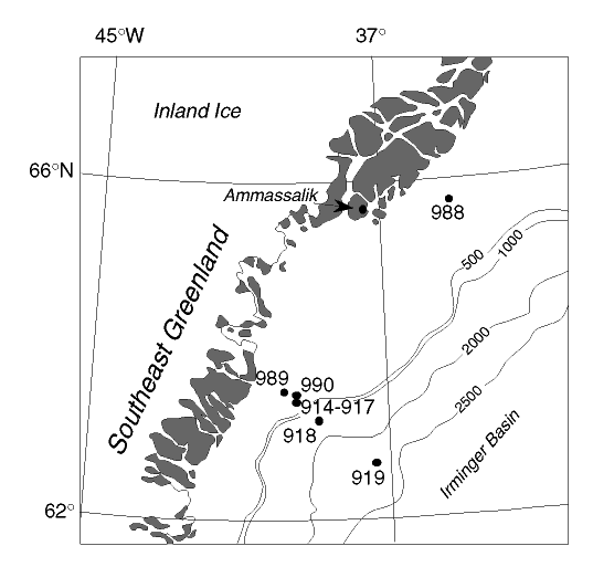
Figure 1. Location map of sites from Legs 152 and 163 along the Southeast Greenland margin. Shaded areas show the regions of outcrop along the Greenland coastline. Bathymetry in meters.