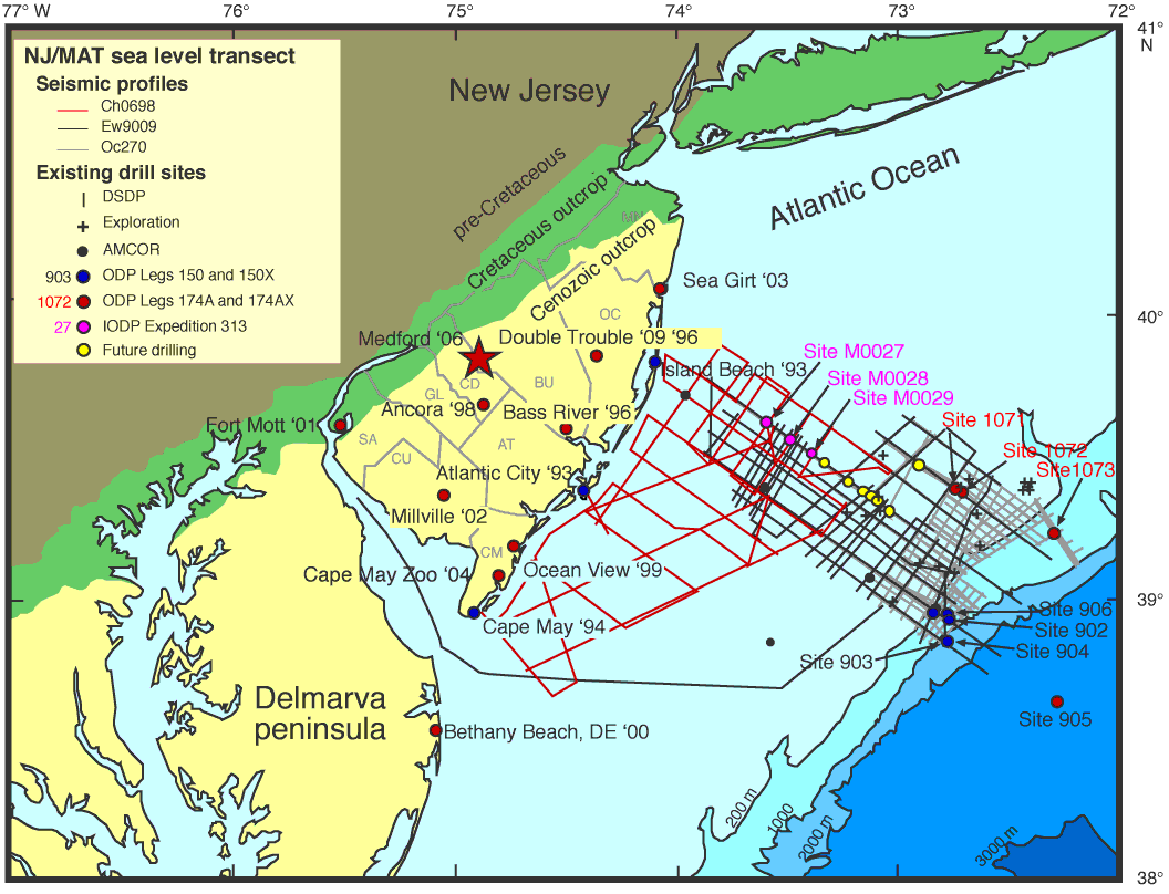
Figure F1. Location map showing the Medford site (red star), existing Deep Sea Drilling Project (DSDP), Atlantic Margin Coring Project (AMCOR), Ocean Drilling Program (ODP), and Integrated Ocean Drilling Program (IODP) coreholes analyzed as a part of the New Jersey (NJ)/Mid-Atlantic (MAT) sea level transect. Also shown are multichannel seismic data from Ewing (EW9009), Oceanus (Oc270), and Cape Hatteras (Ch0698) cruises. MN = Monmouth County, OC = Ocean County, BU = Burlington County, CD = Camden County, GL = Gloucester County, AT = Atlantic County, SA = Salem County, CU = Cumberland County, CM = Cape May County.