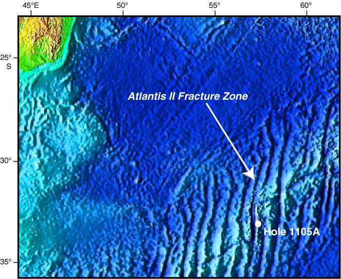
Figure F1.
Satellite altimetry map showing a portion of the Southwest Indian Ridge, the Atlantis II Fracture Zone, and the location of Hole 1105A. The base image is from National Geophysical Data Center (2003).