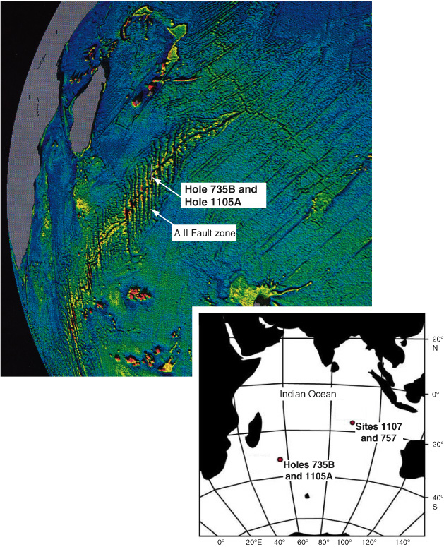
Figure F1. Modified satellite altimetry free-air gravity map displaying the Southwest Indian Ridge, Atlantis II Fracture Zone (A II Fault zone), and the locations of Holes 735B and 1105A (modified from Shipboard Scientific Party, 1999d). Inset shows Leg 179 drilling locations, the hammer drilling sites near Holes 735B and 1105A and along the Ninetyeast Ridge at Site 1107, where a hole was readied for a seismometer deployment.


![]()