![]()
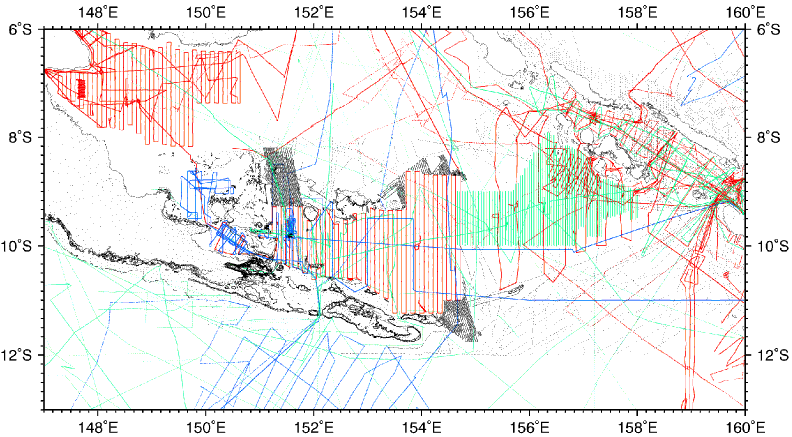
Figure F2. Lines and points locate our digital geophysical database for the Woodlark Basin region (see Table T1 for data types). The data sources are color coded: red = SOEST, University of Hawaii; blue = LDEO, Columbia University; black = land gravity measurements and data digitized from charts, green = other institutions.
![]()