![]()
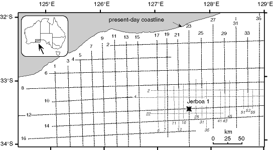
Figure 2Track map showing the distribution of seismic lines on which this study is based. The heavier dashed lines are JNOC 1990 seismic lines, and the lighter dashed lines are older (1979) Esso seismic lines. The location of oil exploration drill hole Jerboa 1 is also shown.
![]()