![]()
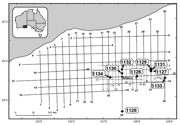
Figure F11. Map of the western Great Australian Bight showing Leg 182 drill sites relative to the Japan National Oil Corporation (JNOC, 1990) seismic grid (heavy lines), together with reprocessed Esso (1979) seismic lines over the Eyre Terrace (lighter dashed lines). The location of exploration drillhole Jerboa-1 is also shown.
![]()