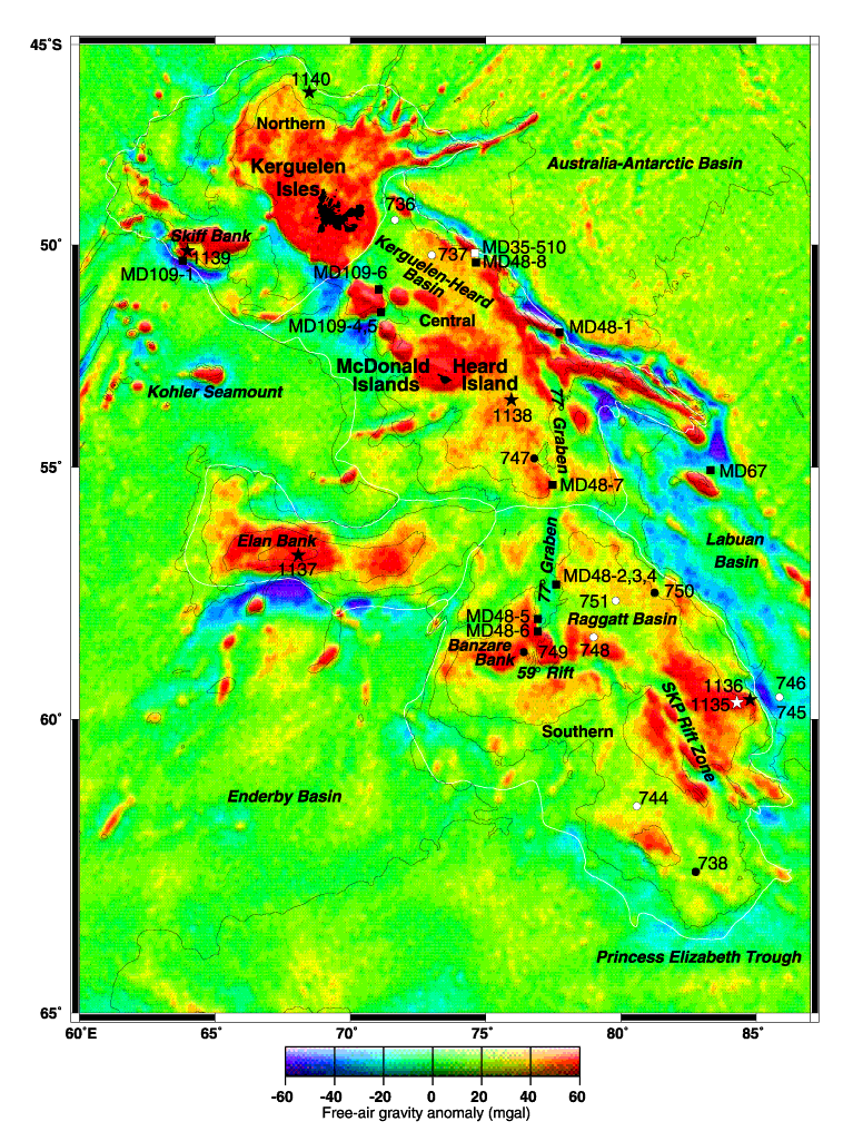
Figure F1.
Satellite-derived
free-air gravity map of the Kerguelen Plateau (after Sandwell and Smith, 1997).
The five plateau province sectors are northern, central, southern, Elan Bank,
and Labuan Basin (outlined in white). Leg 183 and previous (Legs 119 and 120)
ODP sites are indicated by stars and circles, respectively (black = basement
sites; white = sediment sites). Squares indicate dredge and piston core sites
where igneous rock (black) and sediment (white) were recovered.