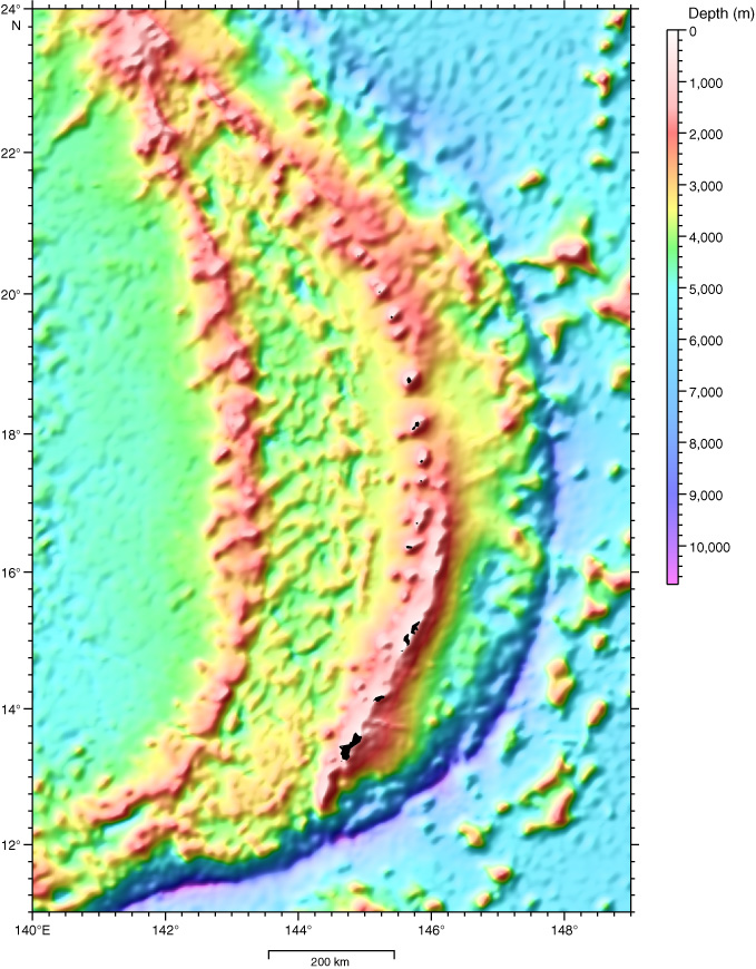
Figure F2.
Bathymetric map of the Mariana region color-contoured in shaded bathymetric relief (map constructed using Generic Mapping Tools [GMT] software [Wessel and Smith, 1995] and the Smith and Sandwell [1977] data set).