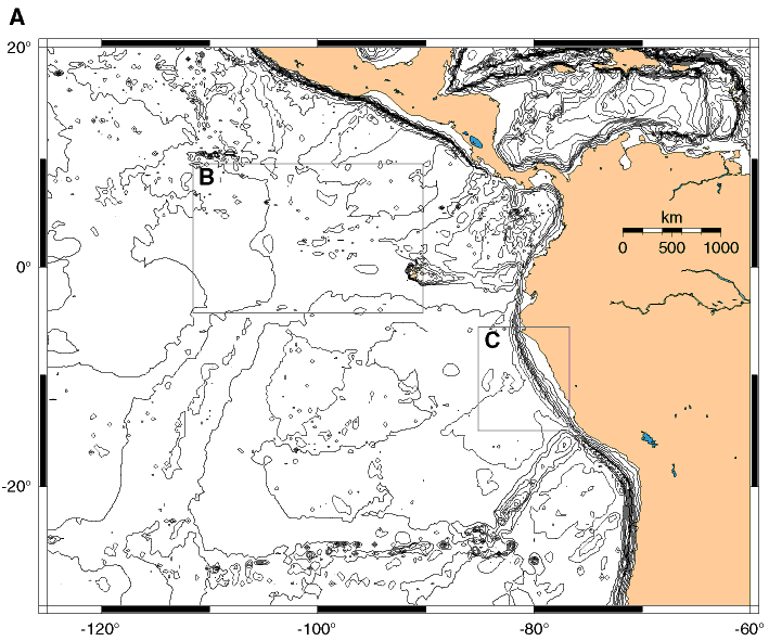
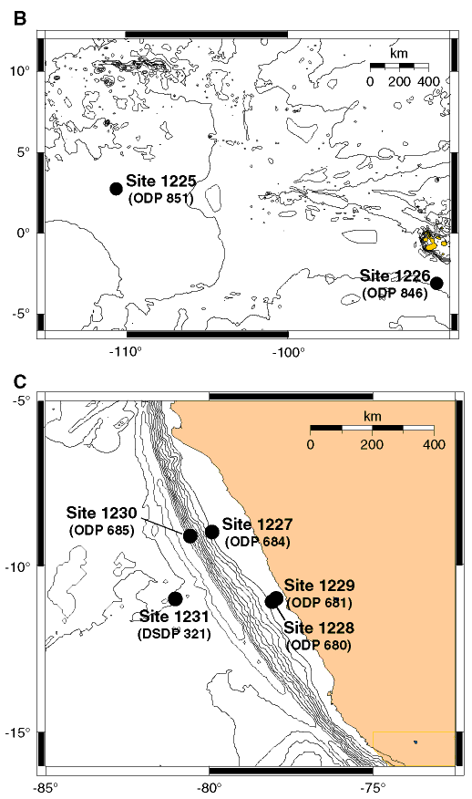
Figure F1. A. Map showing general locations of drill sites occupied during Legs 138 (rectangle B) and 112 (rectangle C). B. Detail map of equatorial Pacific primary sites with nomenclature. Previous ODP designations are in parentheses. C. Detail map of Peru margin primary sites and nomenclature. Previous DSDP/ODP site designations are in parentheses.