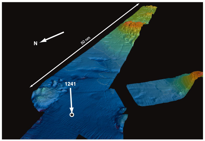
Figure F2.
High-resolution swath bathymetry, illustrated in an oblique view (Mix et al., 2000). The abyssal hill topography illustrated here covers an area of ~50 km (northwest-southeast)
x
20 km (northeast-southwest).