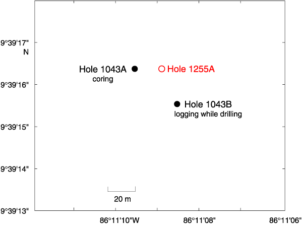
Figure F28. Location of Site 1255. Open circle = the drill site occupied during Leg 205, solid circles = the drill sites occupied during Leg 170. The bathymetric map is an integration of the compilation by Ranero and von Huene (2000) and Simrad data from E. Flueh (pers. comm., 2000).