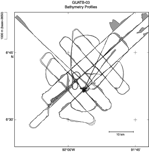
Figure F29.
Bathymetry profile map for grid 3 (data bank Site GUATB-03). Depths <3650 m are shaded.