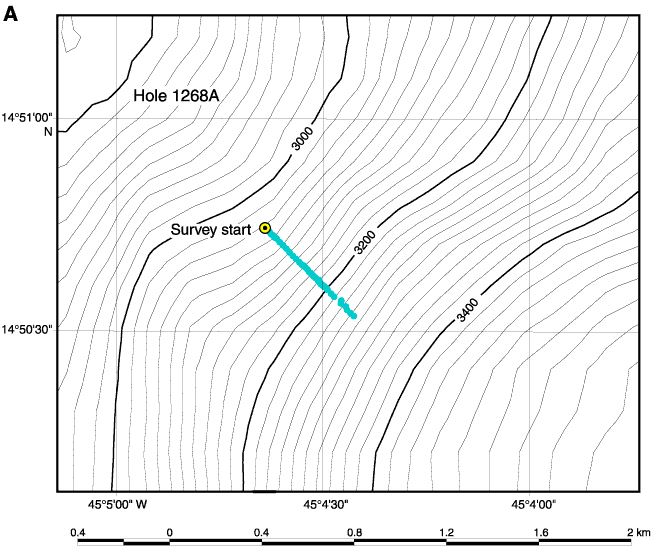
Figure F1. A. Bathymetric map showing location of Hole 1268A.
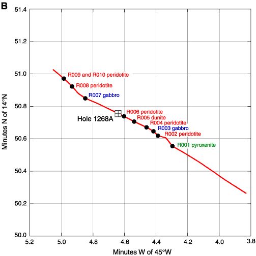
B. Location map with track of Shinkai 6500 Dive 427 and location of samples from that dive as well as Hole 1268A.
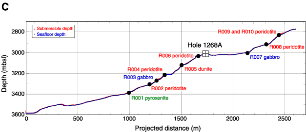
C. Bathymetric section of the area around Hole 1268A, based on depth and locations from Shinkai 6500 Dive 427, projected along 303° with no vertical exaggeration.