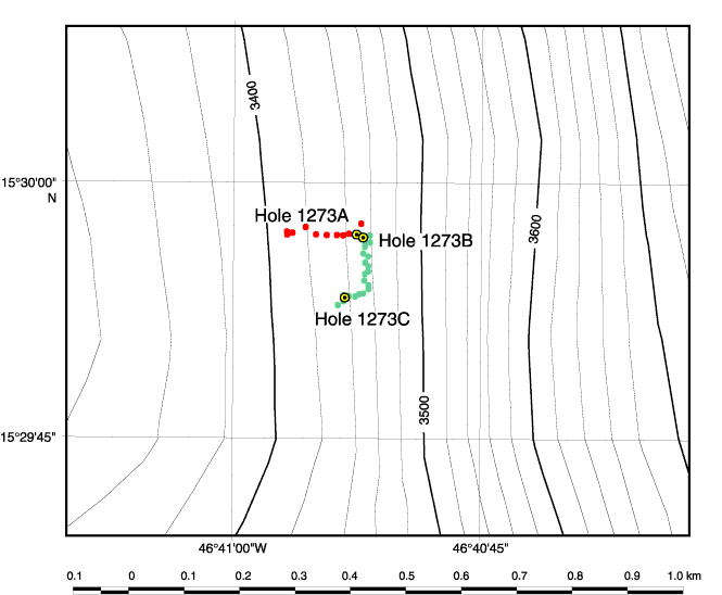
Figure F1.
Bathymetric map indicating subsea camera survey tracks (red = survey 1, green = survey 2) and hole locations. Bathymetric data courtesy of T. Fujiwara and T. Matsumoto of JAMSTEC (Fujiwara et al., 2003).