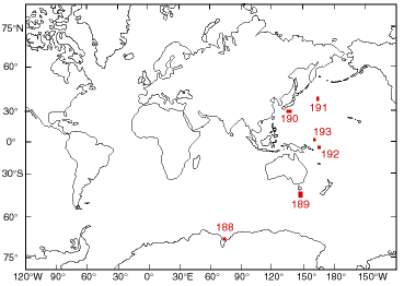
Leg 188: Prydz Bay
The Antarctic ice sheet is a key component of the world's climatic system and has a major
influence on global sea levels. To better understand its role and to test models of ice sheet behavior,
ODP scheduled one leg in 1998 (Leg 178) and a second leg (Leg 188) for January-March, 2000 to
drill the Antarctic. Leg 188 will address the ODP Long Range Plan theme of understanding Earth's
changing climate by drilling Cenozoic sediments in Prydz Bay, Antarctica, and on the adjacent
continental slope and rise known as the Cooperation Sea. Prydz Bay lies on the East Antarctic
coastline between 68°E and 78°E. It is the downstream end of the Amery Ice Shelf-Lambert
Glacier ice drainage system, which drains about 22% of the East Antarctic ice sheet. The Lambert
Glacier responds to fluctuations of the interior of the East Antarctic ice sheet, which are then
reflected in the sediments of Prydz Bay. Included in the drainage basin are the Gamburtsev
Subglacial Highlands, which may have been the nucleus of the earliest Antarctic glaciation so that
the Lambert Graben may contain the earliest Cenozoic glacial sediments. During Cenozoic glacial
episodes, the Lambert Glacier advanced to the shelf edge, extending it by progradation and then
building a large trough mouth fan that probably contains a relatively complete record of glacial
history. Interglacial sediments are also probably preserved on it. Thus, the Prydz Channel Fan
could contain the most complete record of glacial history of any sedimentary sequence on the East
Antarctic margin. The continental rise adjacent to Prydz Bay exhibits large sediment drifts
deposited under the influence of turbidity currents from the continental shelf and deep currents in
the Southern Ocean. Seismic horizons can be mapped from the slope to the rise, allowing the
relationships between slope and rise deposition to be determined. Drilling these sediment drifts can
therefore give a picture of changes in paleoceanography that can be correlated with changes in the
East Antarctic Ice Sheet and compliment the ODP database from other parts of the world. Prydz
Bay and the adjacent Cooperation Sea can provide long term perspectives of Antarctic glaciation
and paleoceanography that will compliment other circum-Antarctic drilling proposals. Such
sections could provide a significant contribution to Initiative 1 of the Long Range Plan,
understanding natural climate variability and rapid climate change.
Therefore the main objectives of our proposed drilling campaign in the Prydz Bay region are:
1. Link events in the East Antarctic Ice Sheet with changes in the Southern Ocean by drilling
sediment drifts on the continental rise equivalent to the Prydz Bay continental slope,
particularly the prograding sediments deposited by ice advances across the shelf.
2. Recover.a record of Plio-Pleistocene ice advances and interglacial deposits from the Antarctic
continental slope by penetrating sequences in the trough mouth fan built by advances of the
Lambert Glacier-Amery Ice Shelf.
3. Date the earliest evidence of glacial activity in Prydz Bay and obtain evidence on the Paleogene
environment of Antarctica.
Staff Scientist: Carl Richter
Location map
Ship Schedule
Science Services
ODP home