It is likely that these paleoceanographic changes played a fundamental role in the development of Cenozoic climate evolution, associated paleoenvironmental changes such as sea level, and in terrestrial and biotic evolution. Thus, the opening of the Tasmanian Seaway appears to have been vital in the development of Cenozoic global evolution of the Earth's system. Early ocean drilling in the Tasmanian Seaway (DSDP Leg 29) provided a basic framework of paleoenvironmental changes associated with the opening of the Tasmanian Seaway. Yet, the information obtained during Leg 29, nearly 25 years ago, is of insufficient quality and resolution to fully test the hypothesis of potential relations between the development of plate tectonics, Circum-Polar circulation and global climate. The timing of events remains insufficiently constrained.
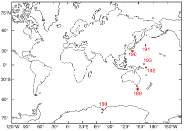
Leg 189 targets a suite of new sites designed to provide a quantum jump in the understanding of Circum-Polar oceanographic and climatic evolution. For example, the relatively shallow region off Tasmania is one of the few places where well preserved and almost complete marine middle Eocene to Holocene carbonate-rich sequences can be drilled in present-day latitudes of 40-50°S, and paleolatitudes of up to 70°S.
The drilling program will document the paleoceanographic and paleoclimatic changes associated with the Paleogene marine rifting history and Neogene drifting history of this key southern area. The five proposed high-resolution paleoceanographic priority sites (three sites on the South Tasman Rise, and one each on the East Tasman Plateau, and west Tasman slope) amount to 3365 m penetration, in water depths of 1460-3570 m. They will address middle Eocene-Quaternary climatic variations related to the Eocene Gondwanan rifting phase, the middle Eocene onset of Circum-Antarctic surface water circulation (40 Ma ~70°S), the mid-Oligocene breakthrough of deep water (30 Ma, ~60°S), and Australia's flight northward thereafter. The sites will allow documentation of latitudinal variations in chemistry and thermal history of water masses in high southern latitudes, and longitudinal differences caused by the shallow ridge between the Indian and Pacific Oceans through the Miocene.
Staff Scientist: Mitch Malone