
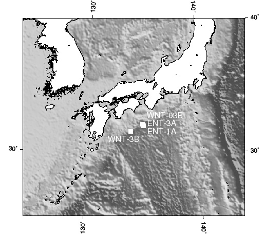
Leg 196Nankai Trough LWD/Advanced CORK ExperimentsNew features of Advanced CORKs include a multiple zone isolation/monitoring/testing capability essential to understanding the fluid flow regime at the Nankai accretionary prism over isolated intervals in the borehole. They also include provision for future deployment of instrument strings by a wireline vehicle deployed from an oceanographic ship. Three sites, located along a transect in the eastern Nankai Trough will be studied and instrumented on Leg 196 and include a reference site seaward of the deformational front, a site penetrating the proto-thrust zone, near the deformational front, but seaward of the first frontal thrust, and a site that penetrates the frontal thrust zone. The LWD program will determine the physical properties and structure at each site. The Advanced CORK seals are configured to determine elastic and hydrologic parameters and to monitor fluid flow processes in the frontal and proto-thrust zones, the decollement and proto-decollment, the sediments above and below the decollement, and the upper oceanic basement of the downgoing plate. Leg 196 will also study a comparative site in the western proto-thrust region. Following the Leg, a wireline reentry system will be used to download pressure data from the Advanced CORKs. The reentry system will then install thermistor-tiltmeter-seismometer instrument strings in the Advanced CORKs, geochemical monitoring systems on the fluid sampling ports, and set up coordinated seafloor monitoring systems. Ultimately, links to fiber-optic cables on the seafloor may extend the lifetimes of these experiments from several years to decades. With such long-term monitoring of multiple parameters at multiple sites it will be possible to study strain and changes in the hydrology and mechanical properties of the Nankai accretionary prism through a significant part of the subduction thrust earthquake cycle.
 Drilling Plan State-of-the-art LWD tools are to be used to make high-quality porosity and density (ADN) logs from the seafloor to TD, to measure resistivity images, similar to FMS images, and to measure gamma radiation at the bit. LWD sonic tools only operate in formations with Vp >2km/s and are not likely to be useful in low-velocity formations (Vp <1.8 km/s). As demonstrated by the results from Leg 156, 170, and 171A, the information acquired from these LWD logs will also allow in-situ pore pressures within the accretionary prism to be inferred. The Resistivity-at-the-bit (RAB) tool will acquire azimuthal resistivity images of the borehole to detect resistivity heterogeneity and borehole structures (fractures and stratigraphic contacts - like FMS but lower resolution), total gamma-ray measurements for lithology estimation, and four depths of investigation. The Azimuthal Density Neutron (ADN) tool will provide borehole-compensated formation density, neutron porosity, and photoelectric factor measurements in four quadrants around the borehole. A WST may be needed to accurately correlate borehole time-depth events to nearby seismic sections and borehole seismometer records.
Staff Scientist: Adam Klaus Operations Schedule | Back to FY 01-02 Abstracts
|