![]() Figures F1-F9
Figures F1-F9
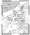
F1. Topographic map of the SCS.
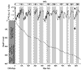
F2. Sediment accumulation rate.
F3. Grain size variations.
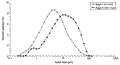
F4. Grain size classes in interglacial and glacial samples.
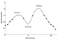
F5. Standard deviation vs. grain size class.
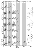
F6. Clay minerals, smectite/(illite + chlorite), and quartz.
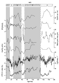
F7.  18O and major elements.
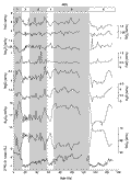
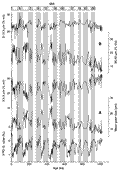
F8. 18O, SiO2/Al2O3, SiO2/K2O, K2O/Al2O3, and CIA.
F9. 18O, L*, CaCO3, quartz, grain size, and SiO2/Al2O3.