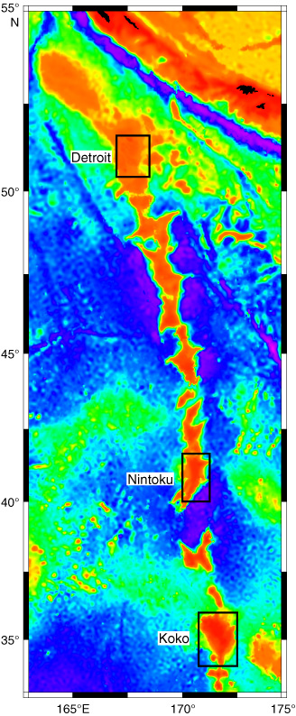
Figure F1.
Regional bathymetry of the Emperor Seamount chain. Black boxes show the location trackline maps over Detroit Seamount (Fig.
F2
), Nintoku Seamount (Fig.
F3
), and Koko Seamount (Fig.
F4
).