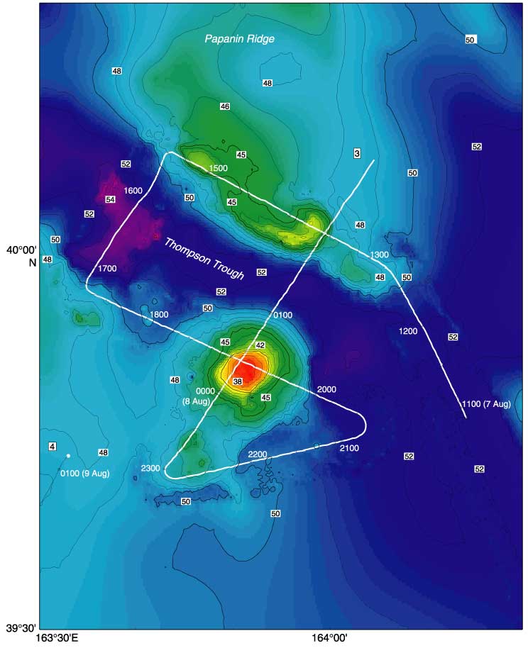
Figure F5. The Thompson Trough survey area on Papanin Ridge showing the locations of seismic reflection profiles collected for this study. Numbers in boxes indicate seismic line numbers. Seismic profiles are shown in Figure F9. Bathymetric data is from Sager et al. (1999), and depth units are meters x 102. The location of the survey area is shown in Figure F1.